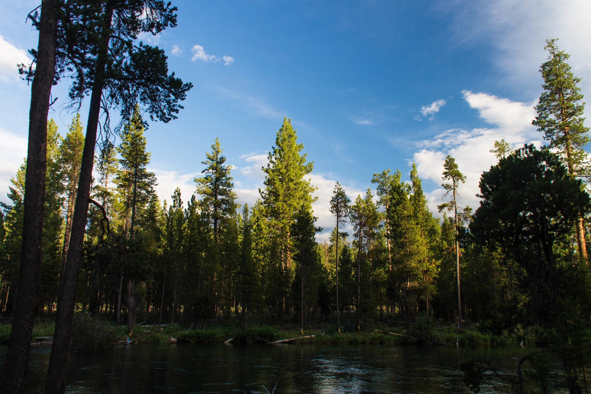
On this cold, dark, autumn day, the trip Andy and I took on one of the hottest weekends of the summer seems forever ago. Normally, I plan all our hikes obsessively, especially overnight ones, checking weather forecasts daily for the week leading up the trip and double checking everything in our packs again a checklist. Somehow I managed to avoid reading a single forecast in preparation for this trip, but I'm glad I did! If I'd known how hot it would be, we never would have gone, and even with all the extreme crowds, dust, and heat, it was such a rewarding trip!


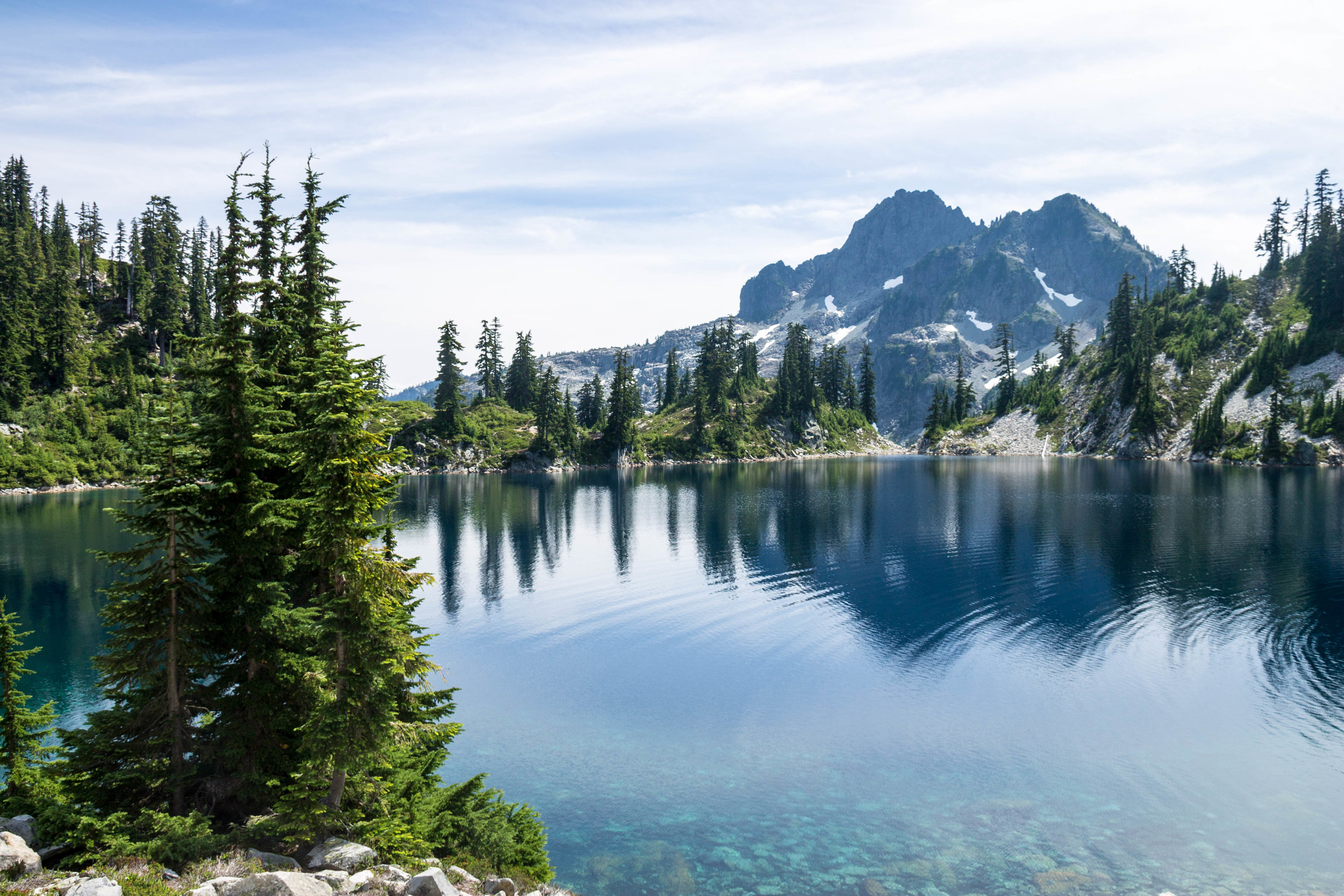
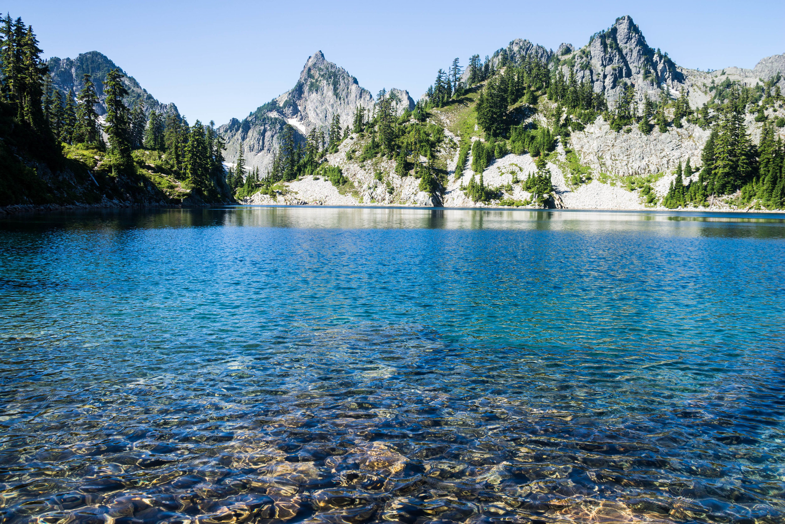
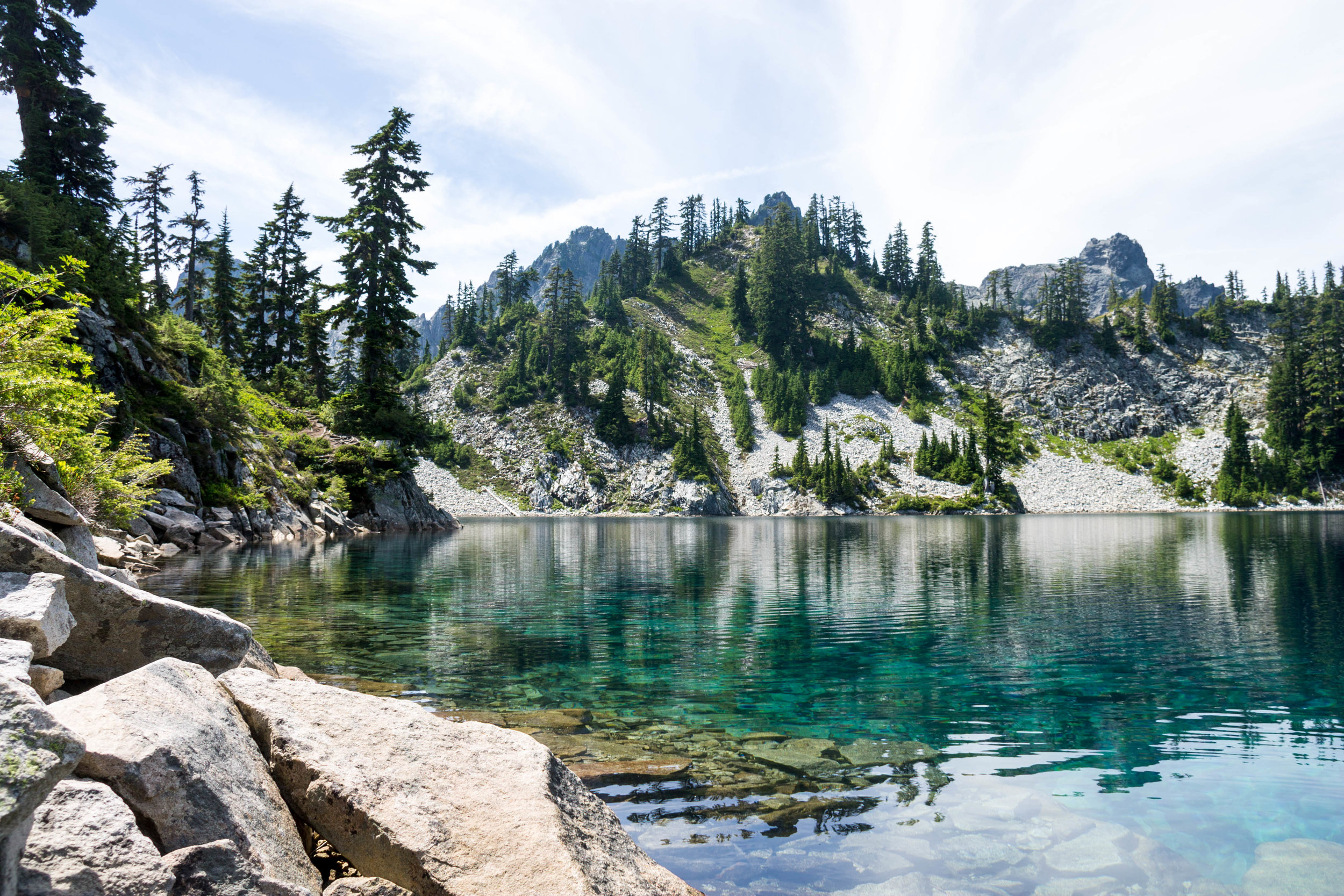
I realized on the drive from home that I'd forgotten my paper topo map, but knew the trail was well marked to Gem Lake, and figured we could find our way based on the WTA description from there. I didn't want to turn back and delay our early start - an absolute necessity for the Snow Lake trail on a hot summer day. By the time we reached the ridge above Snow Lake, the sun was high above us, and the heat and sun were almost inescapable! Thankfully there was a little more in the way of shade as we skirted around Snow Lake, but as we began the climb up to Gem Lake, we were once again roasting. We took our time climbing to Gem Lake, taking water breaks any time there was a good patch of shade. Gem Lake was absolutely worth the climb, and we stopped for a leisurely lunch to admire the view. By the time we'd finished eating and refilling our water bottles, it was already 3:00, and according to the mileage listed on the WTA description, we were still 3.3 miles from our final destination for the night!


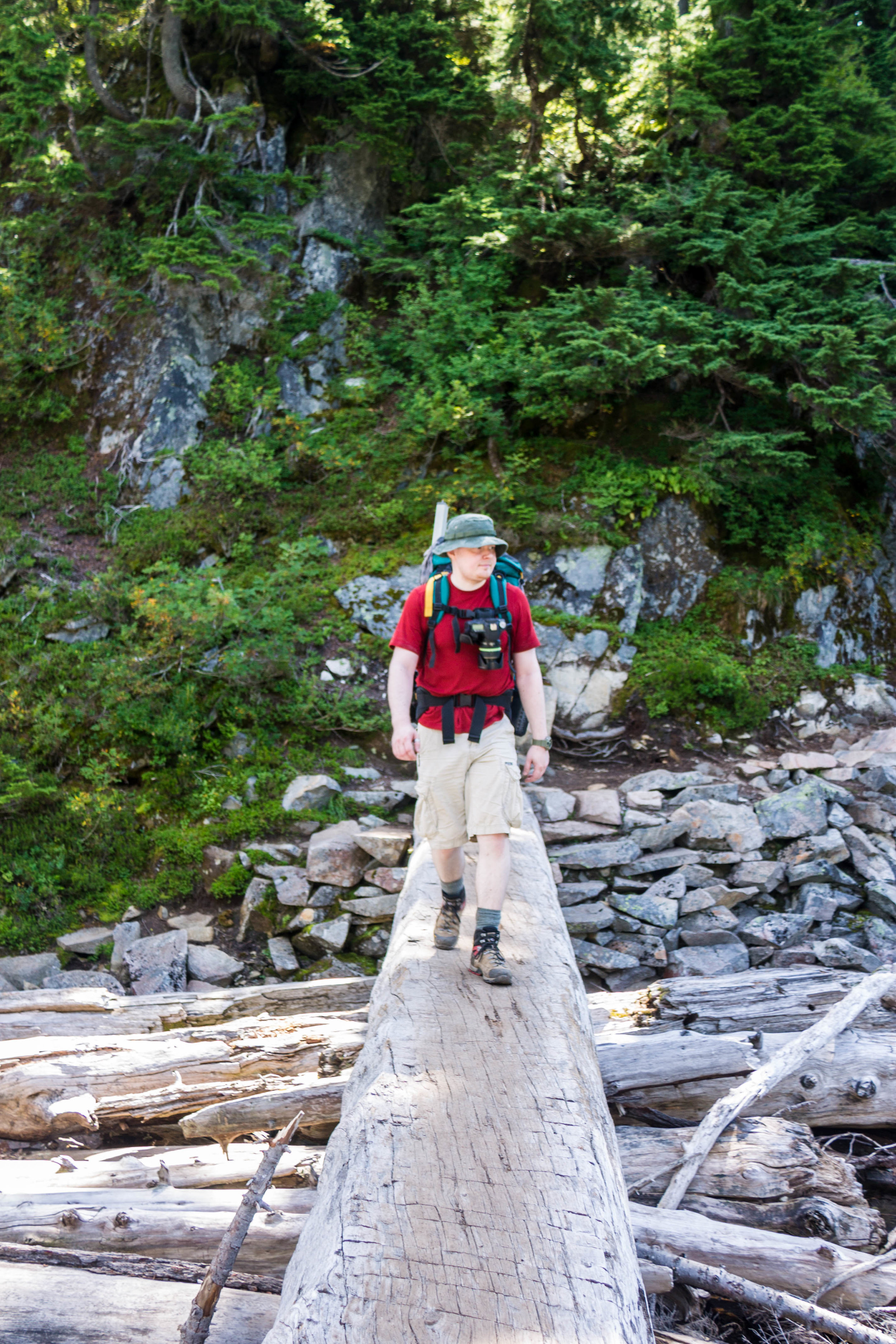
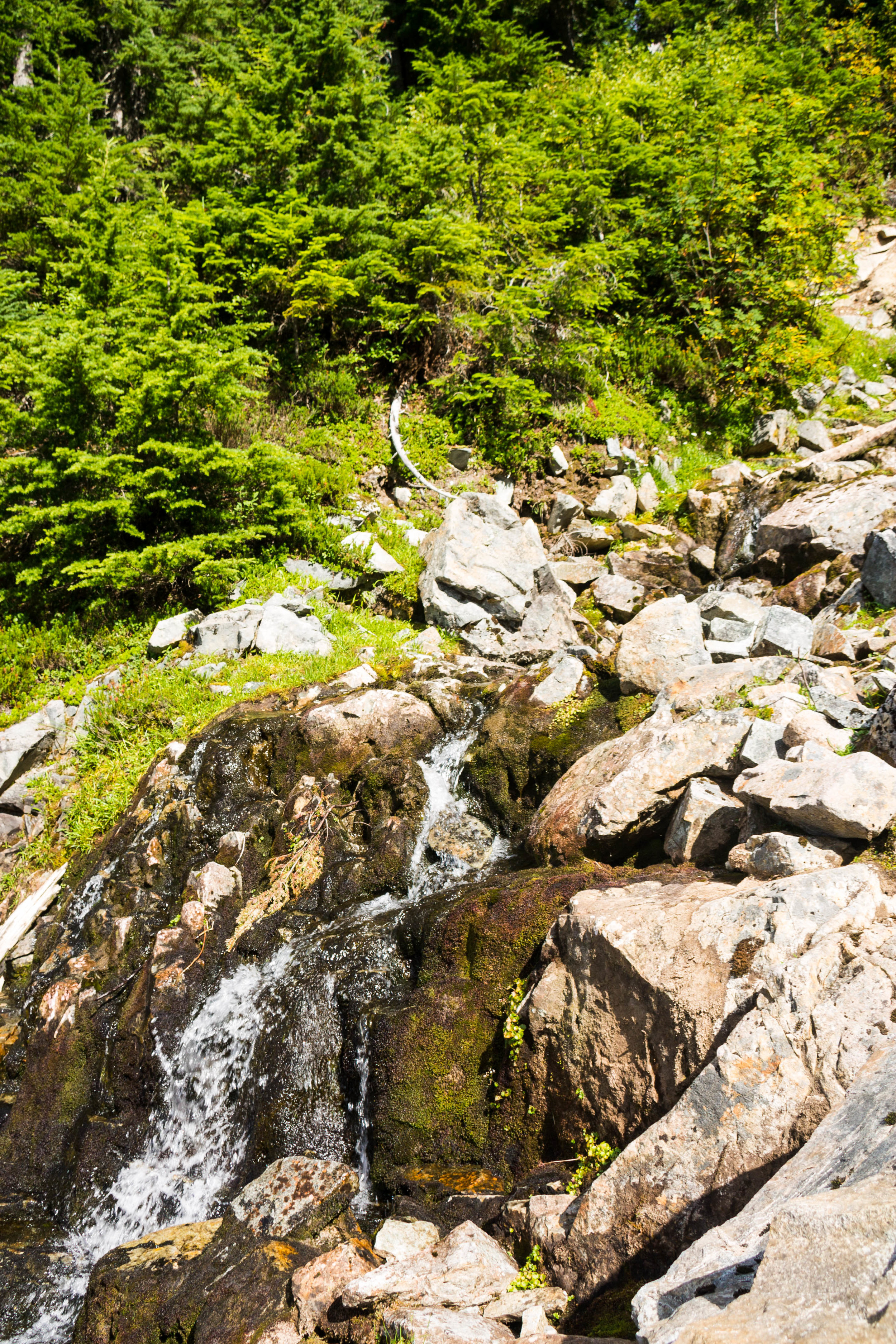
From Gem Lake the trail changes dramatically, becoming narrow, rooty, and STEEP! We dropped 1,200 feet in one mile, which killed my already tired feet and knees. By the time we reached the valley where Lower Wildcat Lake sits, I was exhausted. Even the mostly flat mile remaining to get to Lower Wildcat Lake sounded exhausting at this point, and I'd all but decided there was no way we'd make it to Upper Wildcat Lake. Since that last mile to lower Wildcat Lake turned out to be frustratingly brushy, swampy, muggy, and covered with downed trees to climb over, by the time we reached the lake, I was done. Sadly after the vivid beauty of Snow and Gem Lakes, Lower Wildcat was shallow and muddy, in the depths of a densely wooded valley with no views to speak of. As with most marshy lakes in August, it was also swarming with mosquitoes. I was so disappointed in the lake, I didn't take a single photo!


Rather than set up camp in the only site directly on the lakeshore, we backtracked a quarter mile to a pretty, quiet site along the stream running between Gem and Wildcat. Down in the wooded valley, we didn't see much in the way of sunset, or stars, but we had a delicious dinner, and both had good books to read. I think I slept better than night than on any other hike of the year, since the forest floor was so soft, and the only sound was of the burbling stream. All evening,what I dreaded most was the climb back up to Gem Lake the next morning, since the descent had so thoroughly exhausted me. Thankfully, it turned out to be much easier than I anticipated since I was starting on fresh legs. The hike out went quickly, except for the incredible traffic jams once we rejoined the main Snow Lake trail. Even so, we made good time, and were home early enough to get a beer at our favorite brewery before dinner.
It wasn't until later that week when I checked the topo map I'd forgotten to pack that I discovered at Lower Wildcat Lake, we'd been only a quarter mile and 200 feet below Upper Wildcat Lake, not 1.3 miles and 800 feet, as I'd thought. In exploring around and beyond Lower Wildcat Lake for a better campsite, Andy had even hiked more than halfway to Upper Wildcat! The clear lesson here: don't rely on trail descriptions and digital maps. Always bring a paper topo map!